Maine
Wiscasset
Sheepscot River flats
Tidal mudflat Inferred from historyPermission required
What you could find
Reported finds from this shoreline.
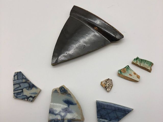 Sea pottery
Photos via Wikimedia Commons: NPS (Public domain).

Why this spot
1790s-1890s shipbuilding/West Indies-trade port; wharf trash on 9-11 ft tide flats
Inference: inland ME dumps documented rich; harbor flats unworked and undocumented.
Before you go
Hazards noted for this site.
Soft mud + big tide
work the ebb.
Keep exploring nearby
More spots in this area.