Oklahoma
Muskogee (Arkansas River port and Katy railhead)
Riverbank Source-confirmed findsGray area
What you could find
Reported finds from this ground.
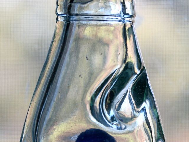 Codd and soda bottles
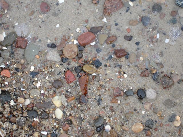 Amber
 Old bottles
Also reported: stoneware jug shards, clay pipe stems, and Indian Territory trade tokens in privy-pit soil..
Photos via Wikimedia Commons: Liz West (CC BY 2.0), Wikited at English Wikipedia (Public domain), Sheila Sund (CC BY 2.0).


Why this spot
1880s+ Sanborn-mapped town on Arkansas River, just above its confluence with the Verdigris and Grand (Neosho) rivers
One of the oldest Sanborn coverages in the state (1886), reflecting Muskogee's early role as an Indian Territory river and rail town; a top-priority hotspot for the earliest bottle era.
Keep exploring nearby
More spots in this area.
Muskogee OK: Three Forks fringe (flagged hard)4 km away · Riverbank
›Fort Gibson (Grand River military post and steamboat head of navigation)12 km away · Riverbank
›Webbers Falls (Arkansas River falls and ferry town)33 km away · Riverbank
›Park Hill Cherokee mission settlement39 km away · Old dump ground
›